

Jim Graham, Ph.D.
Professor - Geospatial Science

(707) 826-3823
Natural Resources (NR) Building, Rm. 217
I love maps and I am very concerned with the decisions we are making in how we interact with the earth. I have combined these interests into using spatial data and software to analyze how we are impacting the earth and to model how our decisions may influence future generations.
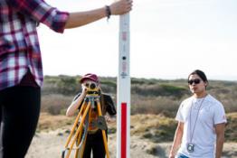
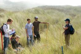
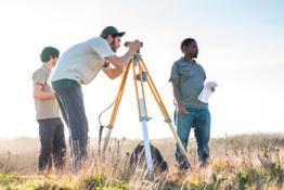
I teach introductory to advanced GIS classes including programming and modeling. The introductory classes focus on the ArcGIS software that is popular within the United States but I also inform students of the growing body of GIS software, including my own.
For more information, please see my web site.
Specialty Area
Research Interest Areas:
- GIS
- Spatial analysis
- Habitat suitability modeling
Education
Spatial analysis, habitat suitability modeling
Ph.D. in Forestry (GIS), 2006, Colorado State University, Fort Collins, Colorado
Courses Taught
GSP 330: Mobile Mapping
GSP 510: Research Methods in GSP
Research
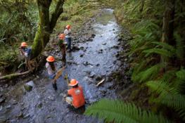
Jim researches appropriate methods for applying spatial analysis to a wide variety of natural resource management issues. He specializes in habitat suitability modeling.